Advanced Air
Mobility
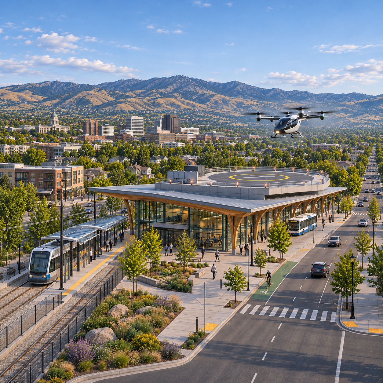
Helping communities and states understand the AAM ecosystem, identify their role, and shape strategic plans and roadmaps for engagement.
THE NEXT DIMENSION OF MOBILITY
AVIATION PLANNING · SPATIAL THINKING
Helping communities and states understand the Advanced Air Mobility ecosystem—and chart a practical path to participate.
Start a conversation ↗Advanced Air Mobility / Unmanned Aerial Systems / Geospatial Development
AREAS OF FOCUS
Emerging aviation is changing how we move, connect, and understand our world. Damron Consultants focuses on three connected fields.
Helping communities and states understand the AAM ecosystem, identify their role, and shape strategic plans and roadmaps for engagement.
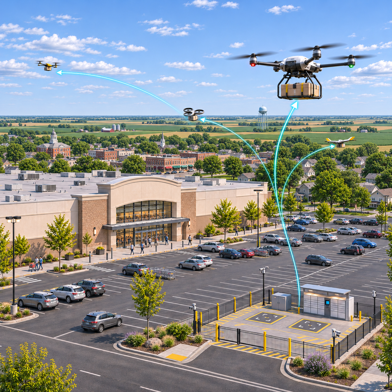
Planning for cargo and delivery networks, public safety applications, and the integration of unmanned aircraft into local infrastructure and operations.
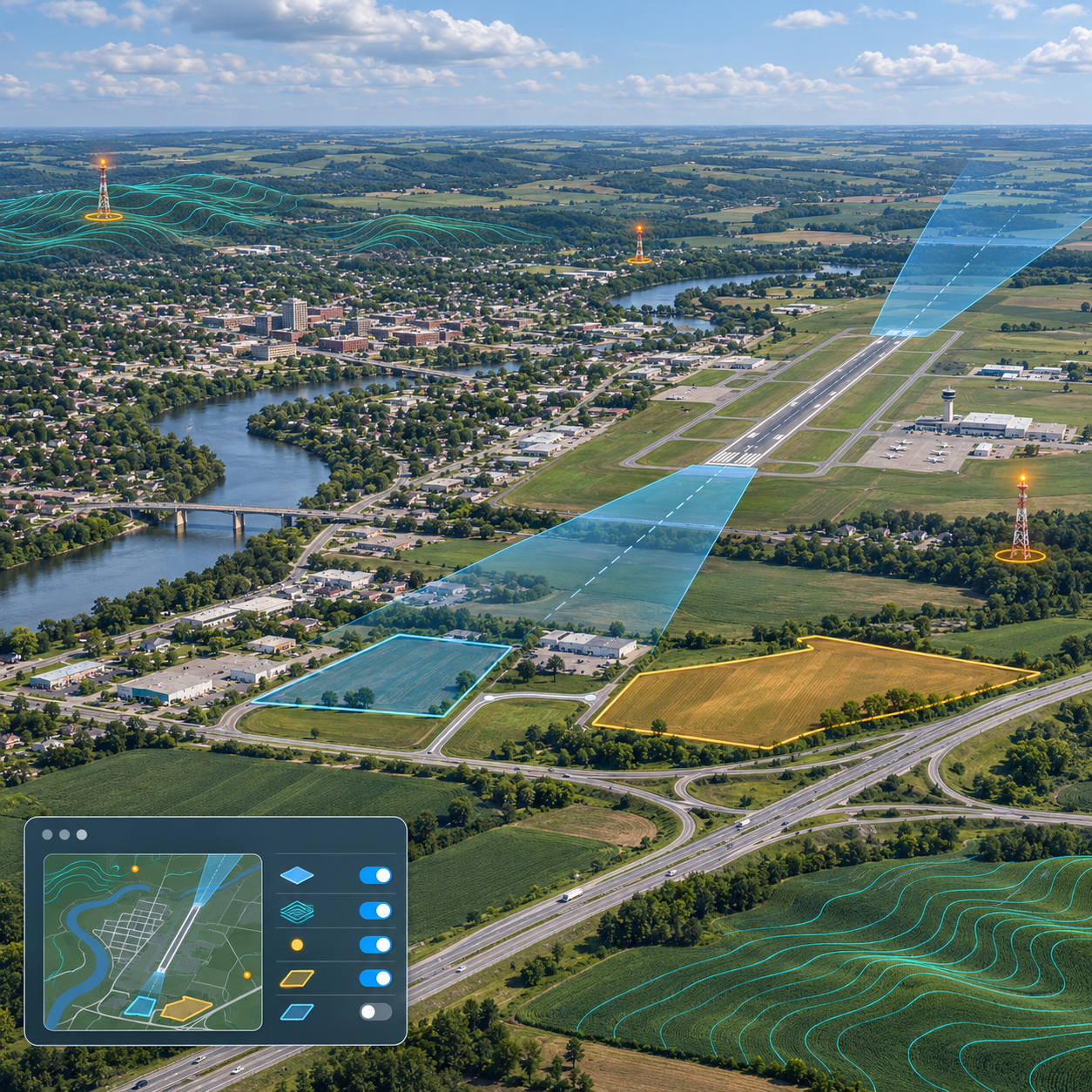
GIS, airspace visualization, terrain and obstacle analysis, and custom online mapping to support informed infrastructure and aviation planning decisions.
COMMUNITY & STATE PLANNING
Advanced Air Mobility is more than an aircraft. It is an ecosystem of aviation, infrastructure, public agencies, industry, and the communities it serves.
Damron Consultants helps cities, towns, counties, and states make sense of that ecosystem, explore how they can engage, and translate their priorities into a strategic plan and roadmap.
Explore a strategic plan for your communityMake the AAM ecosystem understandable: the people, technologies, infrastructure, and relationships that shape it.
Connect community and state priorities with potential roles, relevant partners, and opportunities to participate.
Bring the vision into focus with clear goals and priorities grounded in local needs and context.
Turn strategy into a roadmap of next steps, near-term priorities, and longer-term milestones.
FROM STRATEGY TO READINESS
A tailored planning framework that connects local priorities with infrastructure, policy, and public understanding.
Evaluate community assets, potential sites, transportation connections, and energy readiness. Use geospatial analysis to understand terrain, obstacles, and sensitive locations.
Assess land use and zoning needs, explore vertiport and operational concepts, and support coordination across agencies, utilities, and jurisdictional boundaries.
Help elected officials, planning commissions, staff, and residents understand AAM. Build clear presentations and outreach materials that invite questions and surface community priorities.
Potential deliverables include a readiness assessment, site and infrastructure screening, policy recommendations, stakeholder engagement materials, and a phased implementation roadmap. Each engagement is scoped to your community’s needs.
OUR PERSPECTIVE
Aviation doesn’t happen in isolation. It exists within a larger landscape of infrastructure, land use, and people.
Our focus brings aviation planning and geospatial thinking into the same conversation—helping frame what comes next with a clearer understanding of place.
LEADERSHIP & EXPERIENCE

Principal Owner · Damron Consultants
Connecting aviation technology, public policy, and community planning.
Paul previously served as Advanced Air Mobility Program Manager for the Utah Department of Transportation. His work brings a public-sector perspective to the practical questions communities and states face as they explore AAM.
He helped lead the nationwide Multi-State AAM Collaborative involving 35 states and entities, bringing experience in coordination across jurisdictions to local and regional planning.
Connect with PaulWHO WE SERVE
LET’S CONNECT
Let’s talk about your aviation planning needs, AAM strategy, or community roadmap.
paul@damronconsultants.com ↗435.592.5139